


Trusted Over 70+ Companies


Features
Why Geospatial Portal

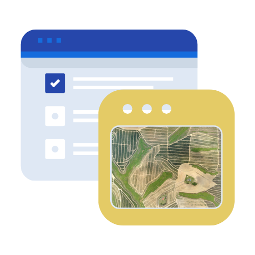

Updated Screen
Revolutionize Your Geospatial Insight with
Geospatial Portal


Geospatial Portal Benefits
Geospatial Portal gives you a comprehensive set of Geospatial features to speed up business processes, improve effectiveness and productivity. As many of us are finding ourselves working from home, now is the perfect opportunity to leverage Geospatial Portal. Some key benefits of using of Geospatial Portal:
- Visualize your data spatially through web maps and apps that can be accessed from anywhere at any time.
- Your data can be accessed in a web browser, smartphones and tablets
- There is no need software to view your Geospatial data – you can simply view your data in Geospatial Portal.
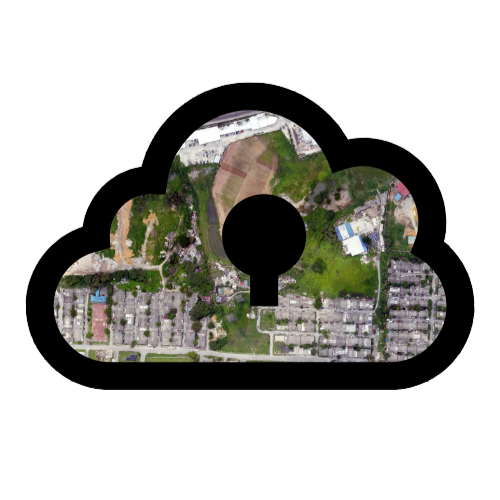
Another benefit to Geospatial Portal is that the content is prerendered, ready to use and hosted by MySpatial, so you do not have to invest in additional hardware, staff or training. You can use Geospatial Portal as a standalone solution for your mapping and analysis needs.
How Geospatial Portal Works?
As one-stop-solution for geospatial data and analytics. Geospatial Portal workflow has several steps.
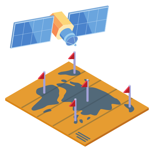
- Capture Data - choose from wide range of high resolution drone or satellite images with sensors - LiDAR, Multispectral, thermal and many other data types. Aerial data are taken using drones or satellite image that are operated by MySpatial's Professional Drone Pilot or satellite
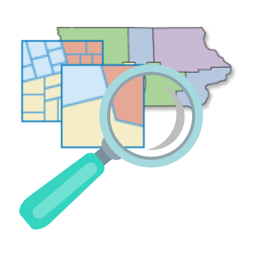
- Process - Geospatial Portal is powered by an AI data processing engine developed especially to ensure your Geospatial data is processed delicately for highest accuracy
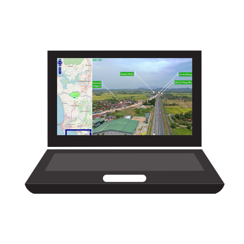
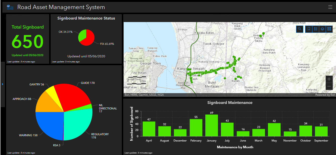
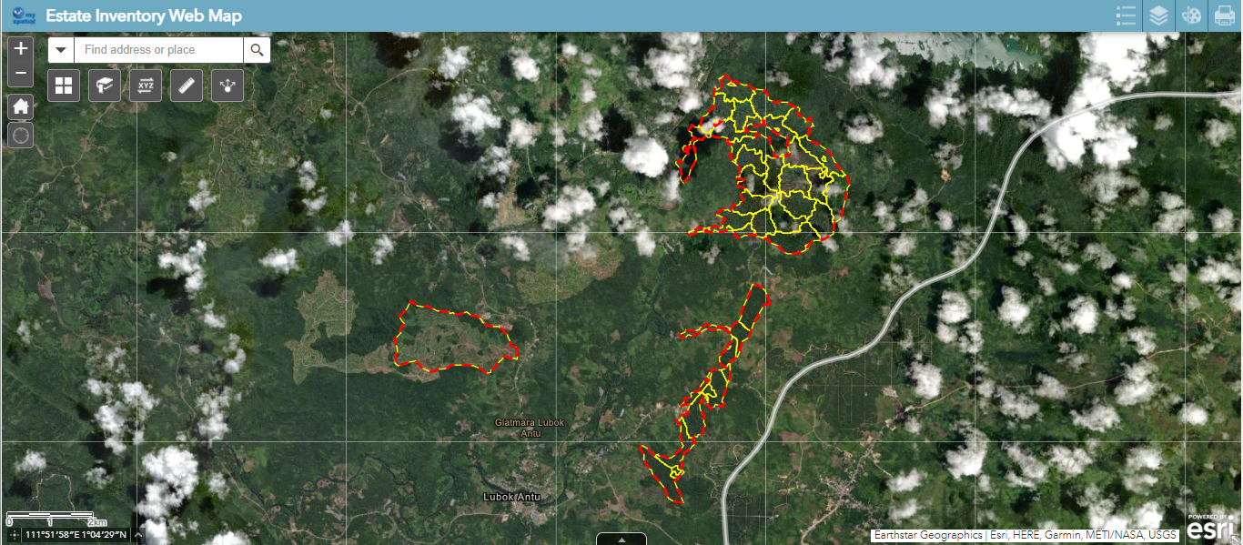
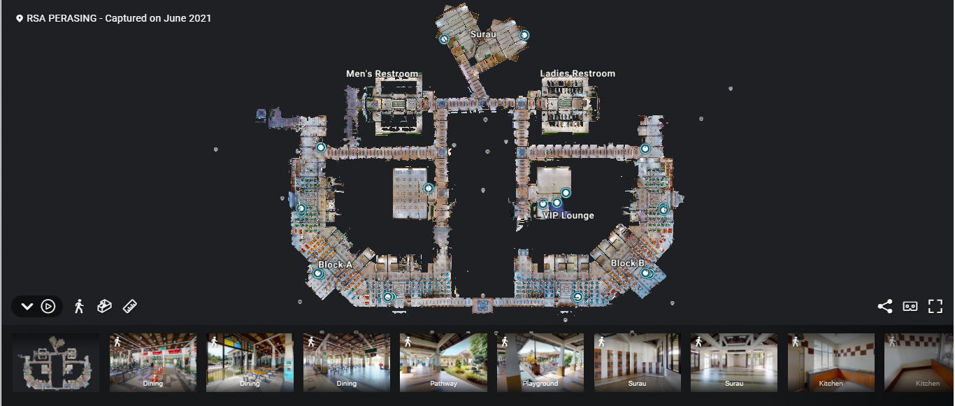
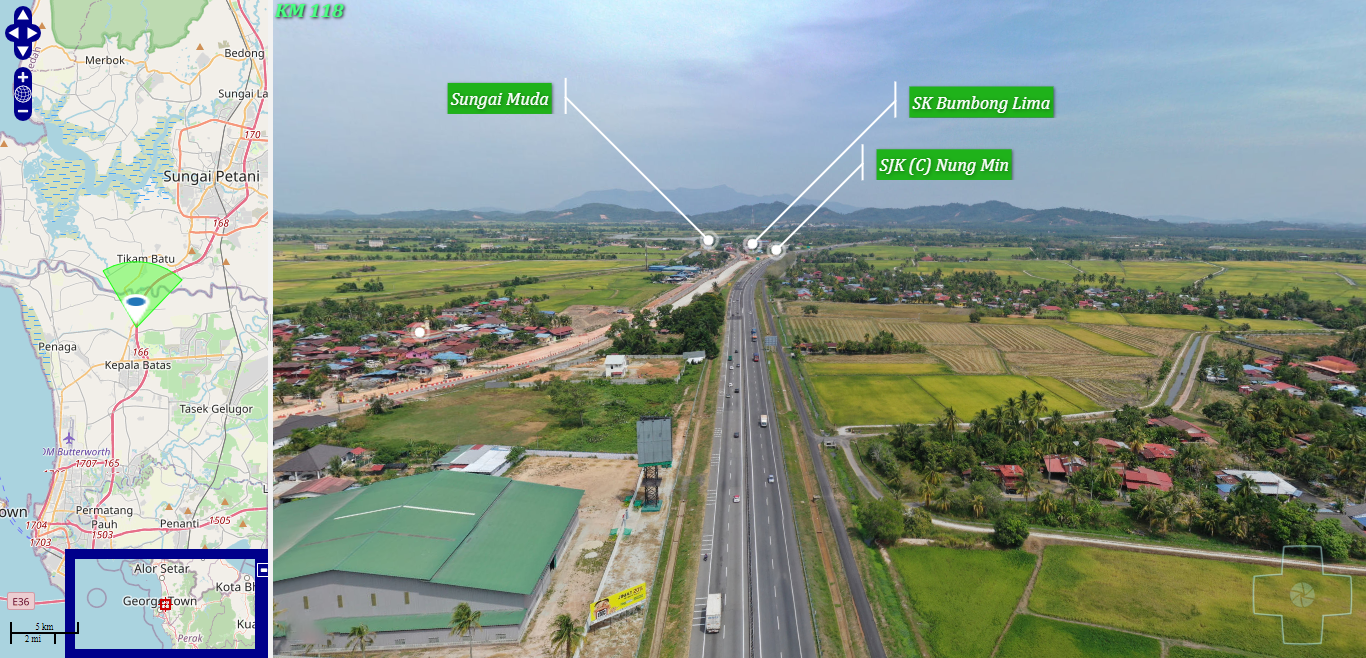
- Visualize, Analyze and Share - Visualize, monitor, analyze and share geospatial data or report at field area (plantation, construction, building, road and etc) on Geospatial Portal with interactive interface; Web Mapping Apps, Operational Dashboard, built-in measurement tools, accessible online from any device or location, on a collaborative cloud-based platform.


Pricing Plan
Choose Your Geospatial Platform Plan
RM 500.00
Basic Account
Only for first month
- Limited Acess Library
- Single User
- eCommerce Store
- Hotline Support 24/7
- Updates
Popular
RM 2,500.00
Standard Account
Only for first month
- Limited Acess Library
- Single User
- eCommerce Store
- Hotline Support 24/7
- Updates
RM 5,500.00
Premium Account
Only for first month
- Limited Acess Library
- Single User
- eCommerce Store
- Hotline Support 24/7
- Updates
We Always Understand
Our Client Expectation
11
Years of Operation
70
+Clients (Agriculture , Engineering , Construction , Forestry and Environment)
300
+Geospatial Projects
3
Millions+Total Mapping Area (Hectares)